
Children's Illustrated World Atlas - Dk
89,23 lei111,54 lei
Ai ajuns la un produs concret. Îți pot spune rapid dacă merită, ce avantaje are și ce alternative similare găsești mai ușor.
Pe scurt: From Bolivia's bustling markets to the massive and scorching Sahara Desert, see the world with this beautifully illustrated atlas. Children's Illustrated World Atlas is divided into six main sections, each devoted to a…
- Îți pot recomanda rapid produse similare sau alternative mai bune din aceeași zonă.
- Dacă nu e exact ce cauți, putem restrânge imediat opțiunile în funcție de preț, utilizare sau stil.
- Poți deschide oferta din magazin sau poți continua aici conversația pentru comparații și recomandări.
Detalii despre produs
Produse similare pe care le poți explora
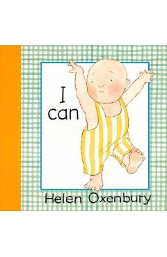
I Can - Helen Oxenbury
\nHelen Oxenbury's brilliant board books have delighted a generation of babies. Now from the most widely loved of artis…
34,67 lei 43,34 lei
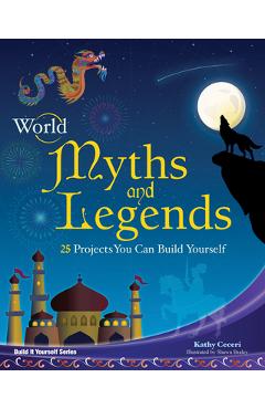
World Myths and Legends: 25 Projects You Can Build Yourself - Kathy Ceceri
\nAll societies have their own myths and legends, but they're much more than just stories. Myths and legends tell us ab…
79,11 lei 98,89 lei
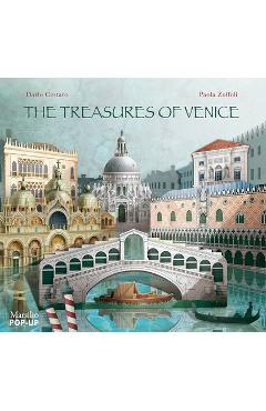
The Treasures of Venice: Pop-Up - Dario Cestaro
Dario Cestaro is an author of books for children, for which he produces concept, story, and drawings. He specializes in…
111,60 lei 139,50 lei

Unicorn Activity Set - Highlights
\nTwo activities in one, this colorful activity set features 5 loose, double-sided, write-on wipe-off pages to draw on,…
74,35 lei 92,94 lei
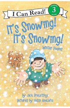
It's Snowing! It's Snowing!: Winter Poems - Jack Prelutsky
A master of rhyme, Prelutsky creates a flurry of winter verse that's just right for ushering in the season of ice and s…
29,71 lei 37,14 lei

Dreamers - Yuyi Morales
Caldecott Honor-book artist and five-time Pura BelprZ Award winner Morales tells her own immigration story in this trib…
94,19 lei 117,74 lei