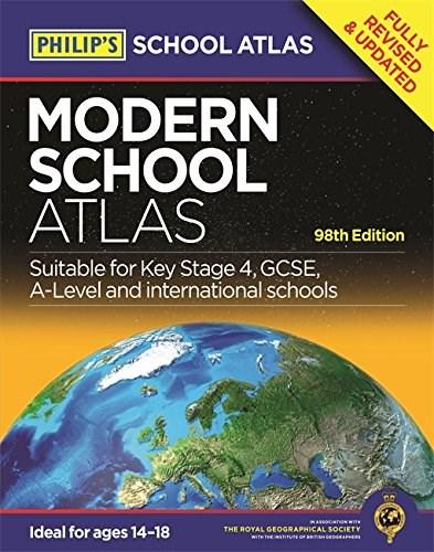
Philip's Modern School Atlas |
71,50 lei
Ai ajuns la un produs concret. Îți pot spune rapid dacă merită, ce avantaje are și ce alternative similare găsești mai ușor.
Pe scurt: Britain's best-selling secondary school atlas, now in its 98th Edition, Philip's Modern School Atlas is an essential reference work for secondary education (14-18 year olds), suitable for Key Stage 4, GCSE, A-Level and…
- Îți pot recomanda rapid produse similare sau alternative mai bune din aceeași zonă.
- Dacă nu e exact ce cauți, putem restrânge imediat opțiunile în funcție de preț, utilizare sau stil.
- Poți deschide oferta din magazin sau poți continua aici conversația pentru comparații și recomandări.
Detalii despre produs
Produse similare pe care le poți explora

The Princess Bride - Inigo Montoya Talking Bust | Gary Sundt
* ONE-OF-A-KIND INIGO MONTOYA COLLECTIBLE: This unique, full-color, molded likeness of Inigo Montoya is mounted on a ha…
68,00 lei
The Religious and the Political: A Comparative Sociology of Religion - Bryan S. Turner
The Religious and the Political: A Comparative Sociology of Religion - Bryan S. Turner
135,47 lei

Cambridge Checkpoints VCE Psychology Units 3 and 4 2016 and Quiz Me More - Max Jory
Cambridge Checkpoints VCE Psychology Units 3 and 4 2016 and Quiz Me More - Max Jory
136,76 lei

Themen aktuell 2, Lehrerhandbuch Teil A - Hartmut Aufderstrasse
Themen aktuell 2, Lehrerhandbuch Teil A - Hartmut Aufderstrasse
52,33 lei

Cambridge Checkpoints VCE History - Russian Revolution 2016-18 and Quiz Me More - Michael Adcock
Cambridge Checkpoints VCE History - Russian Revolution 2016-18 and Quiz Me More - Michael Adcock
139,13 lei
Principles and Practice of Social Marketing: An International Perspective - Rob Donovan, Nadine Henley
Principles and Practice of Social Marketing: An International Perspective - Rob Donovan, Nadine Henley
416,05 lei