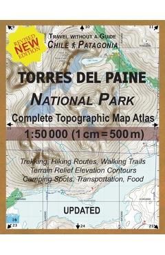
Updated Torres del Paine National Park Complete Topographic Map Atlas 1: 50000 (1cm = 500m): Travel without a Guide in Chile Patagonia. Trekking, Hiki - Sergio Mazitto
104,27 lei115,86 lei
Ai ajuns la un produs concret. Îți pot spune rapid dacă merită, ce avantaje are și ce alternative similare găsești mai ușor.
Pe scurt: \nThis detailed, full color Topographic Atlas represents the full area of the famous Torres del Paine National Park in Chilean Patagonia. Access to trails, availability of camping areas and special requirements such as…
- Îți pot recomanda rapid produse similare sau alternative mai bune din aceeași zonă.
- Dacă nu e exact ce cauți, putem restrânge imediat opțiunile în funcție de preț, utilizare sau stil.
- Poți deschide oferta din magazin sau poți continua aici conversația pentru comparații și recomandări.
Detalii despre produs
Produse similare pe care le poți explora
Total Resistance - H. Von Dach
\nThis is a legendary work by the famed Swiss expert on guerrilla warfare, Major H. von Dach. Survivalists have redisco…
167,35 lei 185,94 lei
Nonstop Metropolis: A New York City Atlas - Rebecca Solnit
\nWinner of the 2017 Brendan Gill Prize from the Municipal Arts Society of New York The maps themselves are things of b…
208,90 lei 232,11 lei
Oxford Picture Dictionary 3e English/Vietnamese - Jayme Adelson-goldstein
Vibrant, realistic illustrations and unparalleled teaching support make the Oxford Picture Dictionary Program what ever…
256,28 lei 284,76 lei
Cie Pemberton Igcse Extended Mathematics 3rd Edition Book: With Website Link - Pemberton
Engage students with examiner Sue Pemberton's unique, active-learning approach, ideal for EAL students. This new editio…
332,55 lei 369,50 lei
You Got This: Motivational Quotes for Fierce Females - Life Oh!
\nA self-empowerment gift book for woman of every age, these quotes and slogans are guaranteed to bring out your inner…
49,94 lei 55,49 lei
Complete Spanish Workbook For Adult Beginners: Essential Spanish Words And Phrases You Must Know - Explore Towin
\nHow amazing would it feel if learning conversational Spanish came naturally to you? Learning a brand new language, es…
111,39 lei 123,77 lei