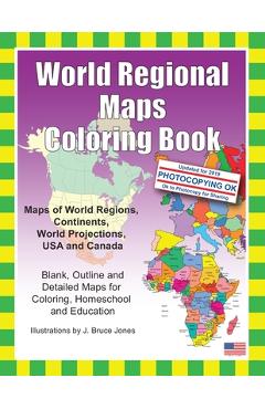
World Regional Maps Coloring Book: Maps of World Regions, Continents, World Projections, USA and Canada - J. Bruce Jones
77,43 lei86,03 lei
Ai ajuns la un produs concret. Îți pot spune rapid dacă merită, ce avantaje are și ce alternative similare găsești mai ușor.
Pe scurt: \nWorld Regional Maps Coloring Book, updated for 2019. Learn and color blank, outline maps of the world and its regions. World Regions Coloring Book with blank outline maps is great for learning world regional geography…
- Îți pot recomanda rapid produse similare sau alternative mai bune din aceeași zonă.
- Dacă nu e exact ce cauți, putem restrânge imediat opțiunile în funcție de preț, utilizare sau stil.
- Poți deschide oferta din magazin sau poți continua aici conversația pentru comparații și recomandări.
Detalii despre produs
Produse similare pe care le poți explora

Hokusai Dot-To-Dot Puzzle Book: 30 Full-Color Prints and 30 Advanced Dot-To-Dot Puzzles for Brain Health and Relaxation -
Katsushika Hokusai was born in 1760 in Edo (now Tokyo) and he created over 30,000 works of art during his long career,…
97,14 lei 107,93 lei
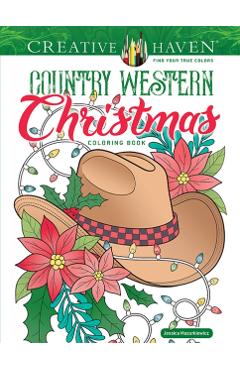
Creative Haven Country Western Christmas Coloring Book - Jessica Mazurkiewicz
Howdy, holidays! Celebrate Christmas in the country with 31 illustrations of charmingly rustic holiday scenes, symbols,…
44,59 lei 49,54 lei
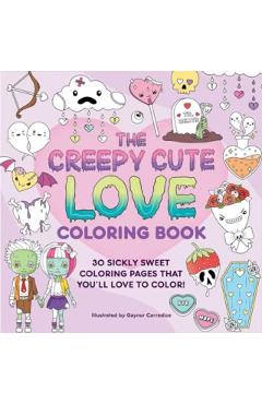
The Creepy Cute Love Coloring Book: 30 Sickly Sweet Coloring Pages That You'll Love to Color! - Gaynor Carradice
Let’s get adorably lovesick—and twisted! Creepy Cute Love follows in the success of our first coloring book and deliver…
45,30 lei 50,33 lei
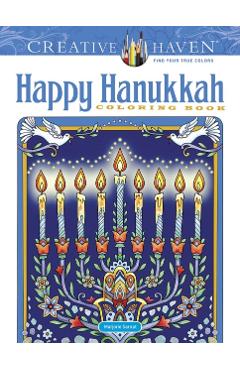
Creative Haven Happy Hanukkah Coloring Book - Marjorie Sarnat
Marjorie Sarnat is the author and illustrator of many of Dover's bestselling Creative Haven coloring books, including C…
35,58 lei 39,53 lei
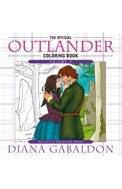
The Official Outlander Coloring Book: Volume 2: An Adult Coloring Book - Diana Gabaldon
Diana Gabaldon's acclaimed series is brought to life in this spectacular coloring book featuring forty-five all-new ill…
123,12 lei 136,80 lei
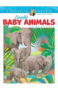
Creative Haven Lovable Baby Animals Coloring Book - Marty Noble
\nNature lovers will have fun coloring this gorgeous collection of baby animals in their native habitats. The 31 illust…
38,82 lei 43,13 lei